Picture 1 of 7


Gallery
Picture 1 of 7
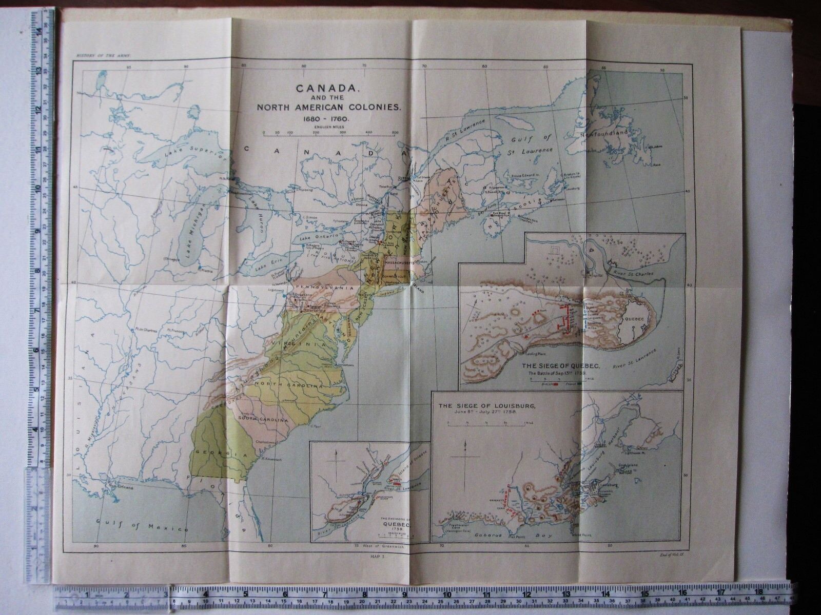


MAP/BATTLE PLAN CANADA NORTH AMERICAN COLONIES 1680-1760 SIEGE LOUISBURG QUEBEC

GBP 38.00
ApproximatelyAU $78.66
or Best Offer
Condition:
“See listing”
- Buy It NowMAP/BATTLE PLAN CANADA NORTH AMERICAN COLONIES 1680-1760 SIEGE LOUISBURG QUEBEC
Oops! Looks like we're having trouble connecting to our server.
Refresh your browser window to try again.
Postage:
GBP 15.00 (approx. AU $31.05) Royal Mail International Tracked.
International delivery of items may be subject to customs processing and additional charges.
Located in: York, United Kingdom
Delivery:
Estimated between Tue, 17 Jun and Fri, 27 Jun to 94104
Returns:
14-day returns. Buyer pays for return postage. If you use an eBay postage label, it will be deducted from your refund amount.
Payments:
Shop with confidence
Seller assumes all responsibility for this listing.
eBay item number:142722750841
Item specifics
- Seller notes
- “See listing”
Item description from the seller

Seller feedback (20,167)
- b***l (39)- Feedback left by buyer.Past 6 monthsVerified purchaseGreat communication, fast shipping - from UK to Lithuania in less than a week. Carefully packaged, everything arrived as described. I totally recommend this seller!1915 WWI PRINT ~ REAR-GUARD ACTION IN THE FOREST NEAR VILNA RUSSIAN SOLDIER (#141845330907)
- 1***1 (1926)- Feedback left by buyer.Past monthVerified purchaseThe second photo page was delivered in good time and in excellent condition. The seller demonstrated good service, generosity and good communication skills all at once. A highly pleasing transaction. Strongly recommended, a comment that I rarely add.
- i***t (1260)- Feedback left by buyer.Past monthVerified purchaseBeautiful prints from an excellent and very helpful seller. Superbly packed, very fast delivery and accompanied by helpful communication Highly recommended !
More to explore:
- Antique North American Maps & Atlases Canada,
- Antique North American Maps & Atlases North Dakota,
- Antique North American Maps & Atlases Michigan,
- Antique North American Maps & Atlases Massachusetts,
- Antique North American Maps & Atlases Maine,
- Antique North American Maps & Atlases Iowa,
- Antique North American Maps & Atlases Florida,
- Antique North American Maps & Atlases Pennsylvania,
- Woodcut Pennsylvania Antique North American Maps & Atlases,
- North Dakota Antique North American Maps & Atlases 1920-1929 Date Range
Seller feedback (20,167)
- b***l (39)- Feedback left by buyer.Past 6 monthsVerified purchaseGreat communication, fast shipping - from UK to Lithuania in less than a week. Carefully packaged, everything arrived as described. I totally recommend this seller!1915 WWI PRINT ~ REAR-GUARD ACTION IN THE FOREST NEAR VILNA RUSSIAN SOLDIER (#141845330907)
- 1***1 (1926)- Feedback left by buyer.Past monthVerified purchaseThe second photo page was delivered in good time and in excellent condition. The seller demonstrated good service, generosity and good communication skills all at once. A highly pleasing transaction. Strongly recommended, a comment that I rarely add.
- i***t (1260)- Feedback left by buyer.Past monthVerified purchaseBeautiful prints from an excellent and very helpful seller. Superbly packed, very fast delivery and accompanied by helpful communication Highly recommended !