
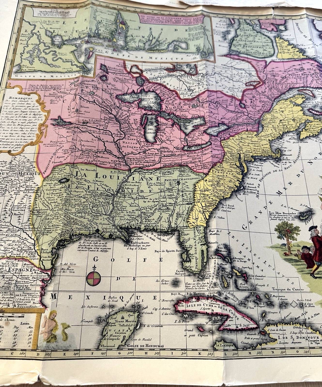
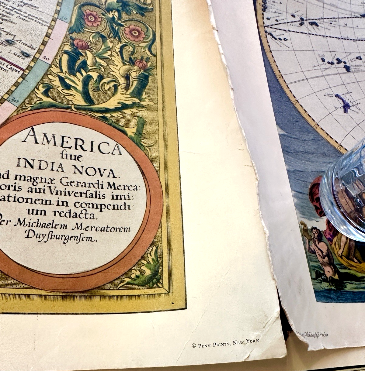
Vintage Maps 17 Century Global, Map of America, North America Penn Prints (3)
US $50.00US $50.00
Tue, 24 Jun, 12:46Tue, 24 Jun, 12:46
Picture 1 of 14


Gallery
Picture 1 of 14


Have one to sell?
Vintage Maps 17 Century Global, Map of America, North America Penn Prints (3)
Condition:
“Good Condition”
Ended: 24 Jun, 2025 12:46:24 AEST
1 lot available (3 items per lot)
Oops! Looks like we're having trouble connecting to our server.
Refresh your browser window to try again.
Postage:
US $15.40 (approx. AU $23.73) USPS Ground Advantage®.
Located in: North Plains, Oregon, United States
Delivery:
Estimated between Fri, 22 Aug and Wed, 27 Aug to 94104
Returns:
30-day returns. Buyer pays for return postage. If you use an eBay postage label, it will be deducted from your refund amount.
Payments:
Shop with confidence
Seller assumes all responsibility for this listing.
eBay item number:256979048947
Item specifics
- Seller notes
- “Good Condition”
- Printing Technique
- Lithography
Item description from the seller
Seller Feedback
No Feedback yet
More to explore:
- City Map Antique North America Atlas Maps,
- Topographical Map Antique North America Folding Maps,
- Topographical Map Antique North America Atlas Maps,
- Antique North America Topographical Maps,
- Antique North America County Maps,
- Vintage Original Antique North America Folding Maps,
- United States of America Antique North America Topographical Maps,
- Maryland Antique North America City Maps,
- California Antique North America Folding Maps,
- Kansas Antique North America County Maps