
Picture 1 of 7


ENDED
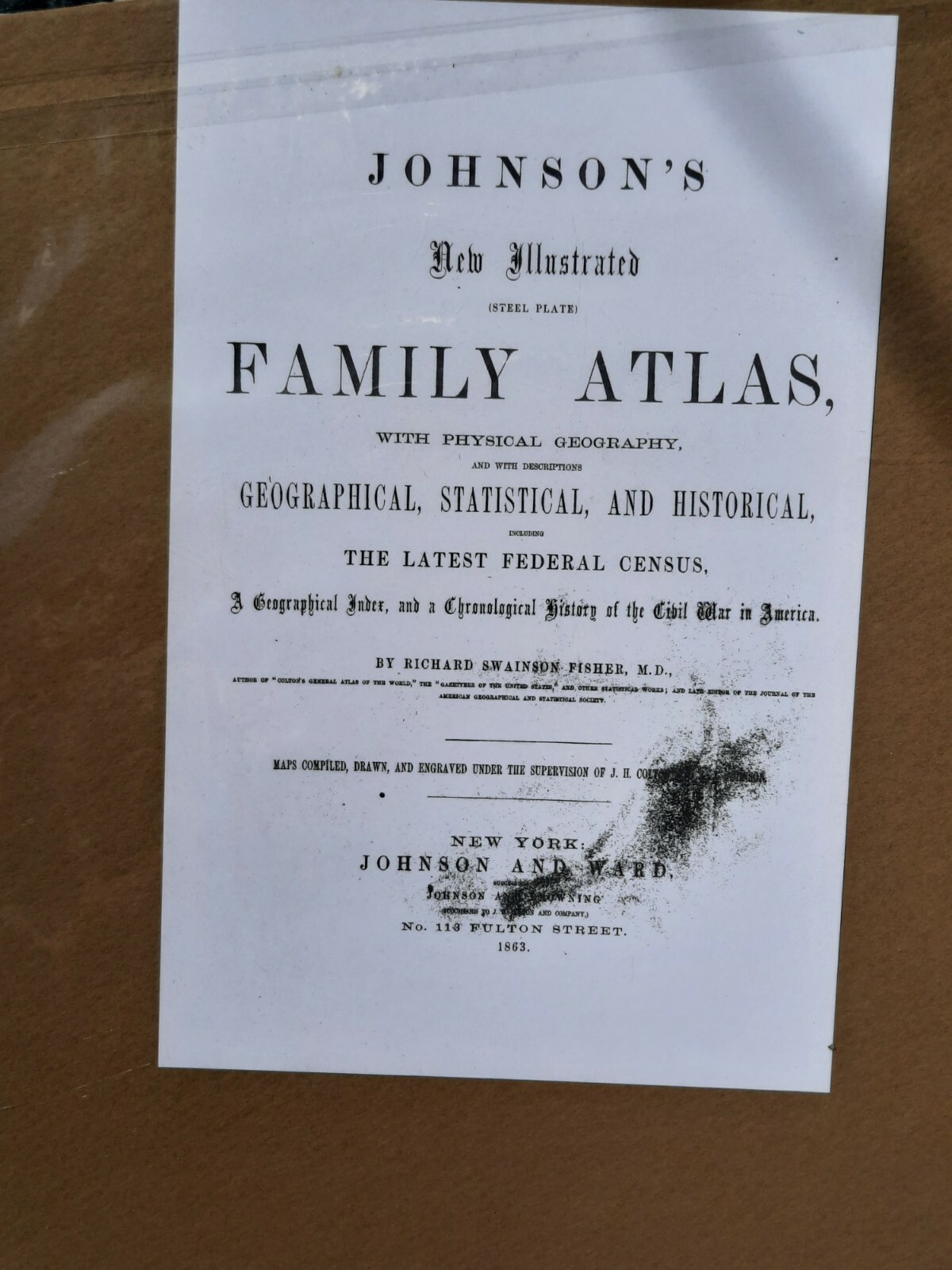
Antique Johnson's Map Of England & Wales 1863 Civil War Era Hand Colored
Condition:
Price:
US $94.50
ApproximatelyAU $143.12
Postage:
Located in: Wilmot, Ohio, United States
Delivery:
Estimated between Wed, 15 May and Fri, 17 May to 43230
Returns:
Payments:
Shop with confidence
Seller information
- 100% positive Feedback
Registered as a business seller
Seller assumes all responsibility for this listing.
eBay item number:314954029894
Item specifics
- Date Range
- 1800-1899
- Type
- World Atlas
- Format
- Atlas Map
- Printing Technique
- steel plate
- Year
- 1863
- Original/Reproduction
- Antique Original
- Cartographer/Publisher
- Johnson and Ward
- City
- London
- Country/Region
- England, Wales
- County
- London
Item description from the seller
Seller assumes all responsibility for this listing.
eBay item number:314954029894
Postage and handling
Item location:
Wilmot, Ohio, United States
Posts to:
Afghanistan, Albania, Algeria, Andorra, Angola, Anguilla, Antigua and Barbuda, Argentina, Armenia, Aruba, Australia, Austria, Azerbaijan Republic, Bahamas, Bahrain, Bangladesh, Belgium, Belize, Benin, Bermuda, Bhutan, Bolivia, Bosnia and Herzegovina, Botswana, Brunei Darussalam, Bulgaria, Burkina Faso, Burundi, Cambodia, Cameroon, Canada, Cape Verde Islands, Cayman Islands, Central African Republic, Chad, Chile, Colombia, Costa Rica, Cyprus, Czech Republic, Côte d'Ivoire (Ivory Coast), Democratic Republic of the Congo, Denmark, Djibouti, Dominican Republic, Ecuador, Egypt, El Salvador, Equatorial Guinea, Eritrea, Estonia, Ethiopia, Fiji, Finland, France, Gabon Republic, Gambia, Georgia, Ghana, Gibraltar, Greece, Greenland, Grenada, Guatemala, Guinea, Guinea-Bissau, Guyana, Haiti, Honduras, Hong Kong, Hungary, Iceland, India, Indonesia, Ireland, Israel, Italy, Jamaica, Japan, Jordan, Kazakhstan, Kenya, Kiribati, Kuwait, Kyrgyzstan, Laos, Latvia, Lebanon, Lesotho, Liberia, Liechtenstein, Lithuania, Luxembourg, Macau, Macedonia, Madagascar, Malawi, Malaysia, Maldives, Mali, Malta, Mauritania, Mauritius, Mexico, Moldova, Monaco, Mongolia, Montenegro, Montserrat, Morocco, Mozambique, Namibia, Nauru, Nepal, New Zealand, Nicaragua, Niger, Nigeria, Norway, Oman, Pakistan, Panama, Papua New Guinea, Paraguay, Peru, Philippines, Poland, Portugal, Qatar, Republic of Croatia, Republic of the Congo, Romania, Rwanda, Saint Kitts-Nevis, Saint Lucia, Saint Vincent and the Grenadines, San Marino, Saudi Arabia, Senegal, Serbia, Seychelles, Sierra Leone, Singapore, Slovakia, Slovenia, Solomon Islands, South Africa, South Korea, Spain, Sri Lanka, Suriname, Swaziland, Sweden, Switzerland, Taiwan, Tajikistan, Tanzania, Thailand, Togo, Tonga, Trinidad and Tobago, Tunisia, Turkey, Turkmenistan, Turks and Caicos Islands, Uganda, United Arab Emirates, United Kingdom, United States, Uruguay, Uzbekistan, Vanuatu, Vatican City State, Vietnam, Wallis and Futuna, Western Samoa, Zambia, Zimbabwe
Excludes:
Barbados, China, French Guiana, French Polynesia, Germany, Guadeloupe, Libya, Martinique, Netherlands, New Caledonia, Reunion, Russian Federation, Ukraine, Venezuela
| Postage and handling | To | Service | Delivery*See delivery notes |
|---|---|---|---|
| US $5.80 (approx. AU $8.78) | United States | Standard postage (USPS First Class®) | Estimated between Wed, 15 May and Fri, 17 May to 43230 |
| Handling time |
|---|
| Will usually post within 1 business day of receiving cleared payment. |
| Taxes |
|---|
| Taxes may be applicable at checkout. Learn moreLearn more about paying tax on eBay purchases. |
Sales tax for an item #314954029894
Sales tax for an item #314954029894
Seller collects sales tax for items posted to the following states:
| State | Sales tax rate |
|---|
Return policy
| Item must be returned within | Refund will be given as |
|---|---|
| 30 days after the buyer receives it | Money back |
The seller is responsible for return postage costs.
You must return items in their original packaging and in the same condition as when you received them. If you don't follow our item condition policy for returnsitem condition policy for returns, you may not receive a full refund.
Refunds by law: In Australia, consumers have a legal right to obtain a refund from a business if the goods purchased are faulty, not fit for purpose or don't match the seller's description. More information at returnsreturns - opens in a new window or tab.
Payment details
Payment methods

More to explore:
- Antique European Maps & Atlases Wales,
- Antique European Maps & Atlases England,
- New South Wales Antique Australia/Oceania Maps & Atlases,
- Antique European Maps & Atlases Wales 1800-1899 Date Range,
- New South Wales Australia Antique Australia/Oceania Maps & Atlases,
- Antique School Maps,
- Antique Topographical Maps,
- Antique Atlas Maps,
- Australia Antique Maps & Atlases,
- Antique Maps, Atlases & Globes