
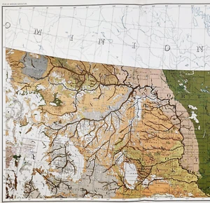
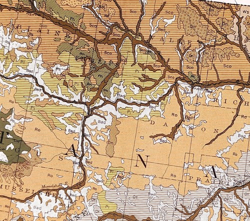
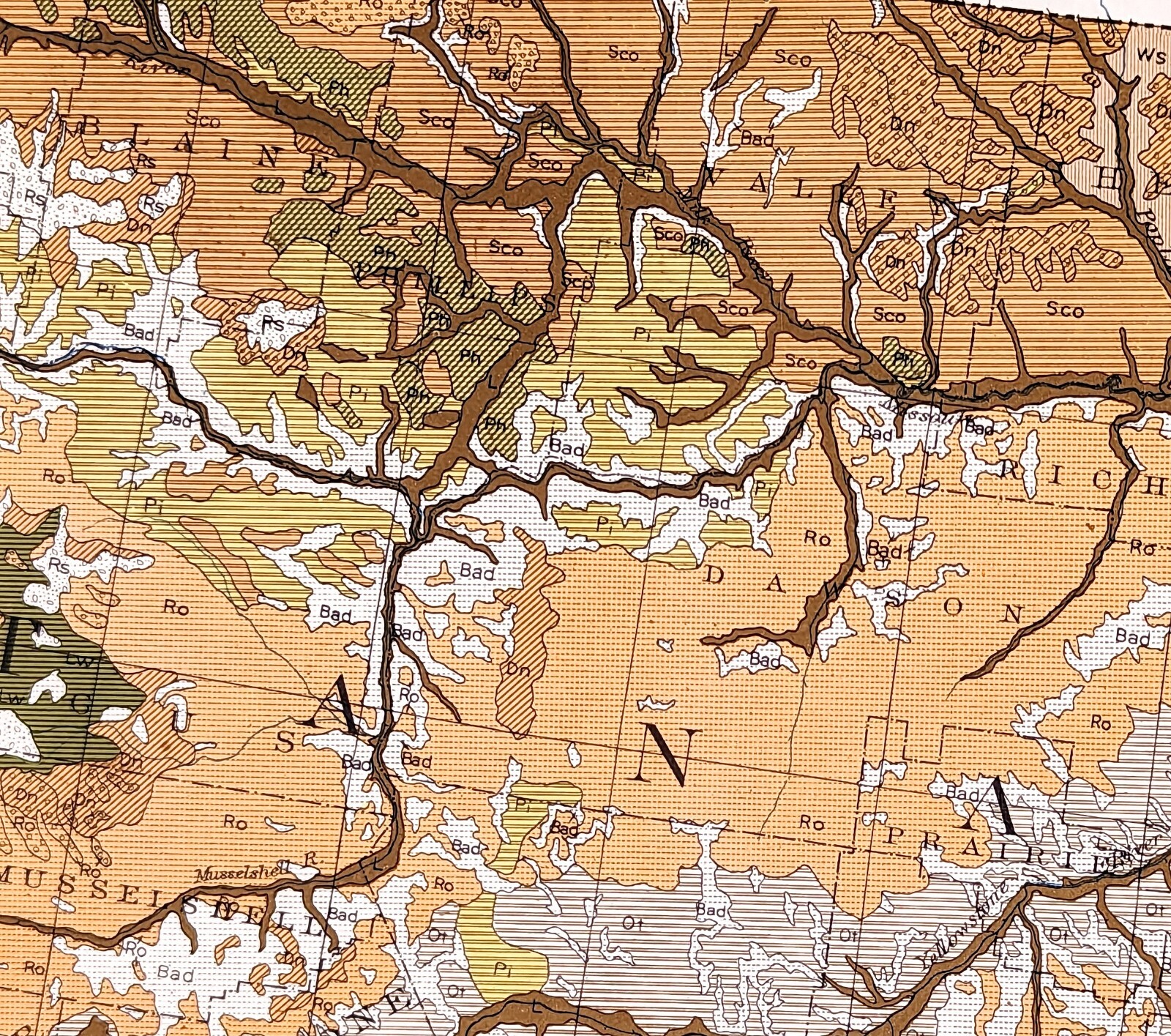
1931 MAP DAKOTA MONTANA WYOMING Great Falls Helena Sheridan YELLOWSTONE Custer
US $52.88US $52.88
Sun, 01 Jun, 06:16Sun, 01 Jun, 06:16
Picture 1 of 7


Gallery
Picture 1 of 7


Have one to sell?
1931 MAP DAKOTA MONTANA WYOMING Great Falls Helena Sheridan YELLOWSTONE Custer
US $52.88
ApproximatelyAU $81.42
or Best Offer
Condition:
Oops! Looks like we're having trouble connecting to our server.
Refresh your browser window to try again.
Postage:
Free USPS Ground Advantage®.
Located in: Carefree, Arizona, United States
Delivery:
Estimated between Fri, 29 Aug and Fri, 5 Sep to 94104
Returns:
30-day returns. Seller pays for return postage.
Payments:
Shop with confidence
Seller assumes all responsibility for this listing.
eBay item number:326588524940
Item specifics
- Date Range
- 1930-1939
- Type
- Geological Map
- US State
- MN, MT, ND, SD, WY, Montana, North Dakota, South Dakota, Wyoming
- Format
- Atlas Map
- Printing Technique
- Lithography
- Year
- 1931
- Original/Reproduction
- Antique Original
- Cartographer/Publisher
- United States Dept of Agriculture
- City
- HELENA
- Country/Region
- United States of America
Item description from the seller
Seller Feedback
No Feedback yet
More to explore:
- North Dakota Antique North America Atlas Maps,
- Antique North American Maps & Atlases North Dakota,
- North Dakota Antique North American Maps & Atlases 1920-1929 Date Range,
- North Dakota Antique North American Maps & Atlases 1900-1909 Date Range,
- Antique School Maps,
- Australia Antique Maps & Atlases,
- Antique Geological Maps,
- Antique World Maps & Atlases,
- Antique Europe Maps & Atlases,
- Antique Asia Maps & Atlases